Wollongong's development, from its early coal mining and steelmaking roots to the modern coastal expansion along the Illawarra Escarpment, has always been defined by a complex interplay between infrastructure and subsurface geology. The escarpment itself, a dramatic geological boundary rising over 400 metres, generates highly variable bedrock profiles and colluvial deposits across the coastal plain. When planning deep excavations or critical foundations in suburbs like Figtree or Bulli, borehole data alone often leaves critical gaps in the rockhead model. Our laboratory team approaches these challenges with seismic tomography as a primary investigative tool, generating continuous 2D velocity cross-sections that bridge the information between drillholes. This method proves essential where the Permian coal measures—with their interbedded sandstones, shales, and coal seams—create abrupt lateral changes that point-based drilling can misinterpret, as we routinely observe in our slope stability assessments along the escarpment fringe.
A velocity contrast of 800 m/s between weathered and fresh sandstone is often the deciding factor between a pad footing and a piled solution in Wollongong.
Site-specific factors
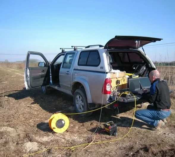
We mobilise a 48-channel distributed seismograph system with 4.5 Hz vertical geophones, a configuration selected specifically to handle the high background noise levels typical of Wollongong's urban corridors. The equipment layout begins with a roll-along spread, where the shot point advances incrementally through the geophone line to achieve dense ray coverage under paved surfaces and narrow road verges. One recurring risk we encounter during reflection surveys near the Port Kembla industrial zone is ground roll from heavy vehicle traffic on Flinders Street, which can overwrite low-frequency reflections from the coal measures. Our operators mitigate this by scheduling after-hours acquisitions and applying frequency-wavenumber filtering during processing, a step that preserves the integrity of the bedrock reflector used for estimating excavation depths. For sites within the seismic microzonation boundaries, we also integrate the P-wave data with our MASW profiling to characterise the shear wave velocity structure of the upper 30 metres, a parameter required by AS 1170.4 for site classification.
Quick answers
What does a seismic tomography survey typically cost for a residential block in Wollongong?
For a standard residential site requiring a single refraction line up to 60 metres long with bedrock mapping, the fee ranges from AU$4,400 to AU$7,180 excluding GST. The final amount depends on access constraints, traffic management requirements, and whether a reflection component is needed for deeper targets.
How long does it take to receive the final tomography report and velocity sections?
Field acquisition for a typical 120-metre refraction line takes one day. The tomographic inversion and interpretation are completed within five to seven working days, with the final report including interpreted geological boundaries, velocity cross-sections, and the engineering parameters derived from the seismic velocities.
Can seismic refraction detect the top of rock if a concrete slab is already present?
Yes, in most cases. We can couple the geophones directly to the slab surface using adhesive plates, and the shot energy will penetrate through the concrete into the underlying soil and rock. The high-velocity slab appears as the first layer in the tomogram, and the bedrock refractor beneath it remains identifiable provided the rock velocity contrasts sufficiently with the overburden.
What is the minimum line length required for a usable reflection profile in the Illawarra?
For reflection surveys targeting bedrock at depths between 20 and 80 metres, we recommend a minimum spread length of 72 metres with a 2-metre geophone interval. Shorter spreads can work for very shallow targets, but the fold and velocity resolution degrade quickly, making it difficult to separate the Bulli Seam reflection from multiples generated by the overlying sandstone.